Route 66
LS9 8PN
Distance: 3.11km
Description
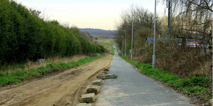
Route 66 is part of the Sustrans traffic free route that stretches across West Yorkshire and beyond. Start the run at Richmond Hill Primary and set off up Oxley street, turn right onto Pontefract Lane and then join the beaten track of Route 66. Joining Halton Moor Road and taking a left onto Osmondthorpe Lane you will be ready for your final push up the hill. Taking a left onto Richardson Road you will soon find yourself in the wide open space of East End Park.
Make smarter travel choices with Sustrans here: http://runleeds.co.uk/r/sustrans/
This is one of the more recommended greener routes around Richmond Hill!